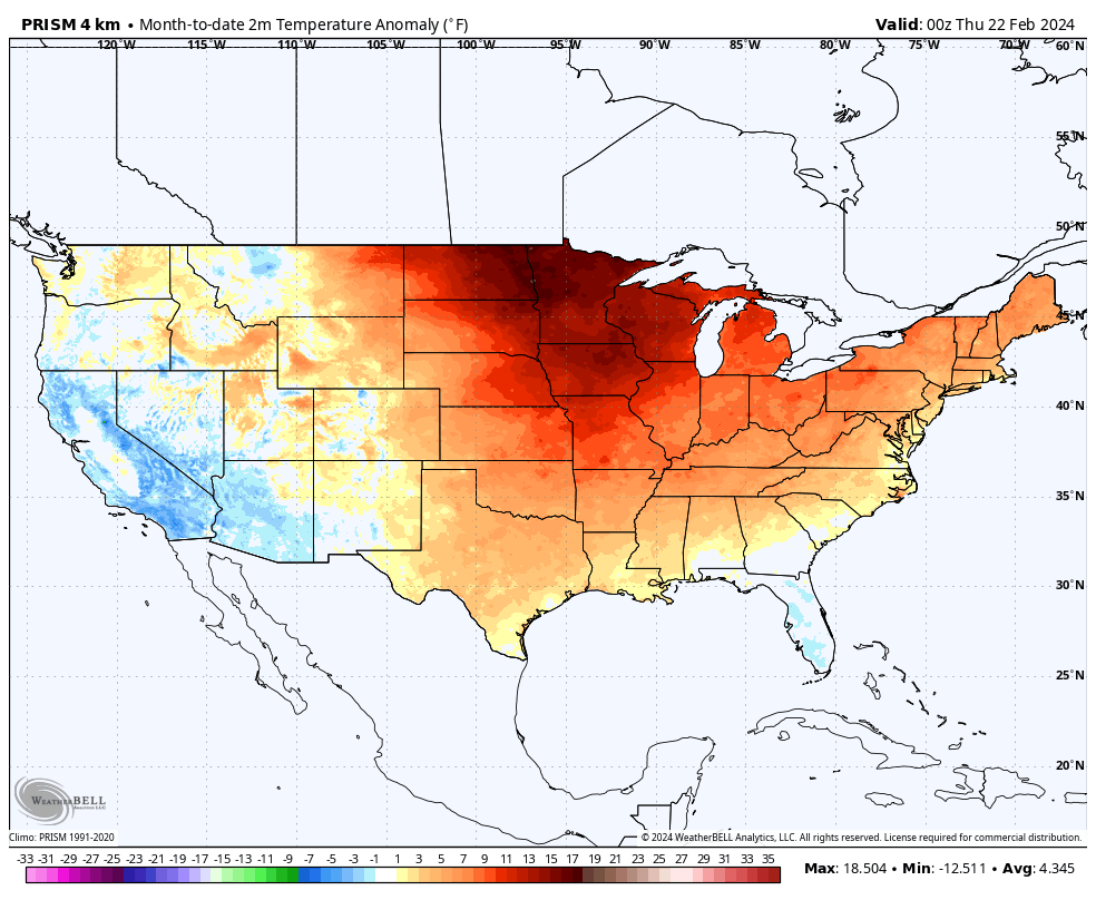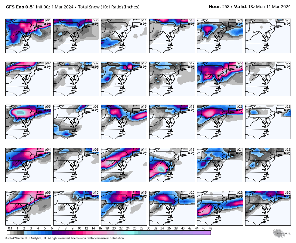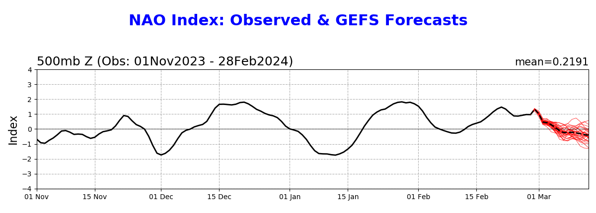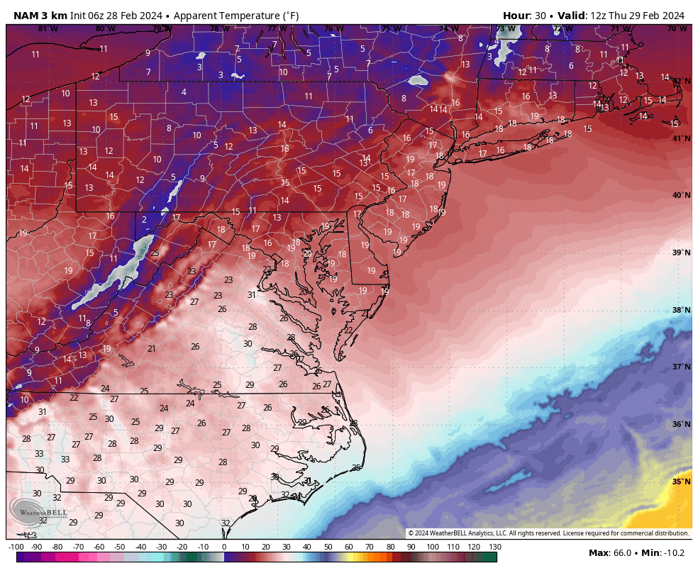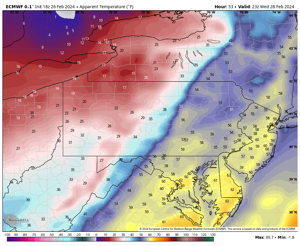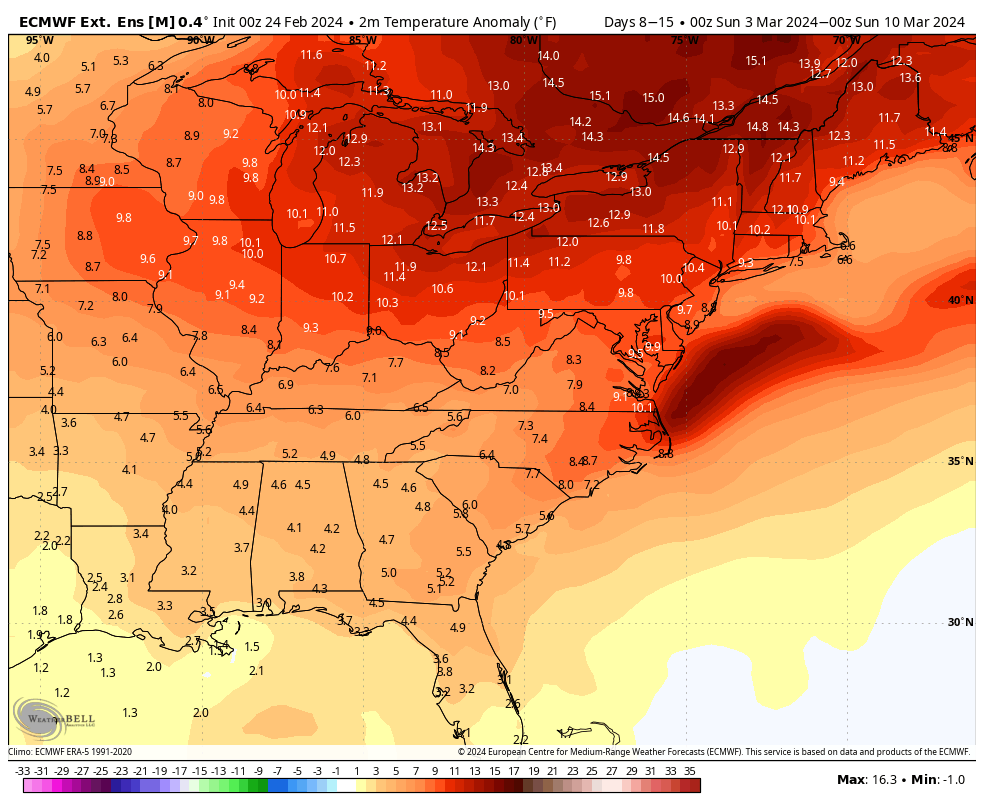
If the month of February were to come to an end today it would be one of the warmest February’s in recorded history, top 5 to be exact! Originally the thinking was that the El Nino would weaken during the second half of the winter season and shift more towards the west, becoming central based (also known as a “Modoki” El Nino). This would lead to a mild start to the winter season with colder changes arriving at some point after the holiday season. The ECMWF seasonal, which has been pretty good in recent years, supported this idea and showed a really nice trough in the east during the month of February. So what actually happened? The warming of the tropical waters in the Pacific did shift a bit towards the west, but it wasn’t enough. And the waters off the coast of Peru did cool down a bit, but it wasn’t enough. In the end, we had a two week arctic outbreak in January and a couple of snowstorms, but that was really it. Much better than last winter (if you’re a snow lover), but still nothing even close to anything that resembles a normal winter here in the Mid Atlantic.
What’s really become surprising is that 9 out of the last 10 winters have now either been an El Nino or La Nina, both of which tend to bring milder than normal conditions to the Mid Atlantic states during the winter season. Climatology suggests we should see either one or the other every 3 to 5 years. So this may be something that needs to be looked into. Whether or not this is becoming an example of climate change remains to be seen, but clearly something is going on in the Pacific. It looks like the winter of 2024/ ’25 could be another La Nina. That could end up meaning more pain for the snow lovers and the winter weather fans.
